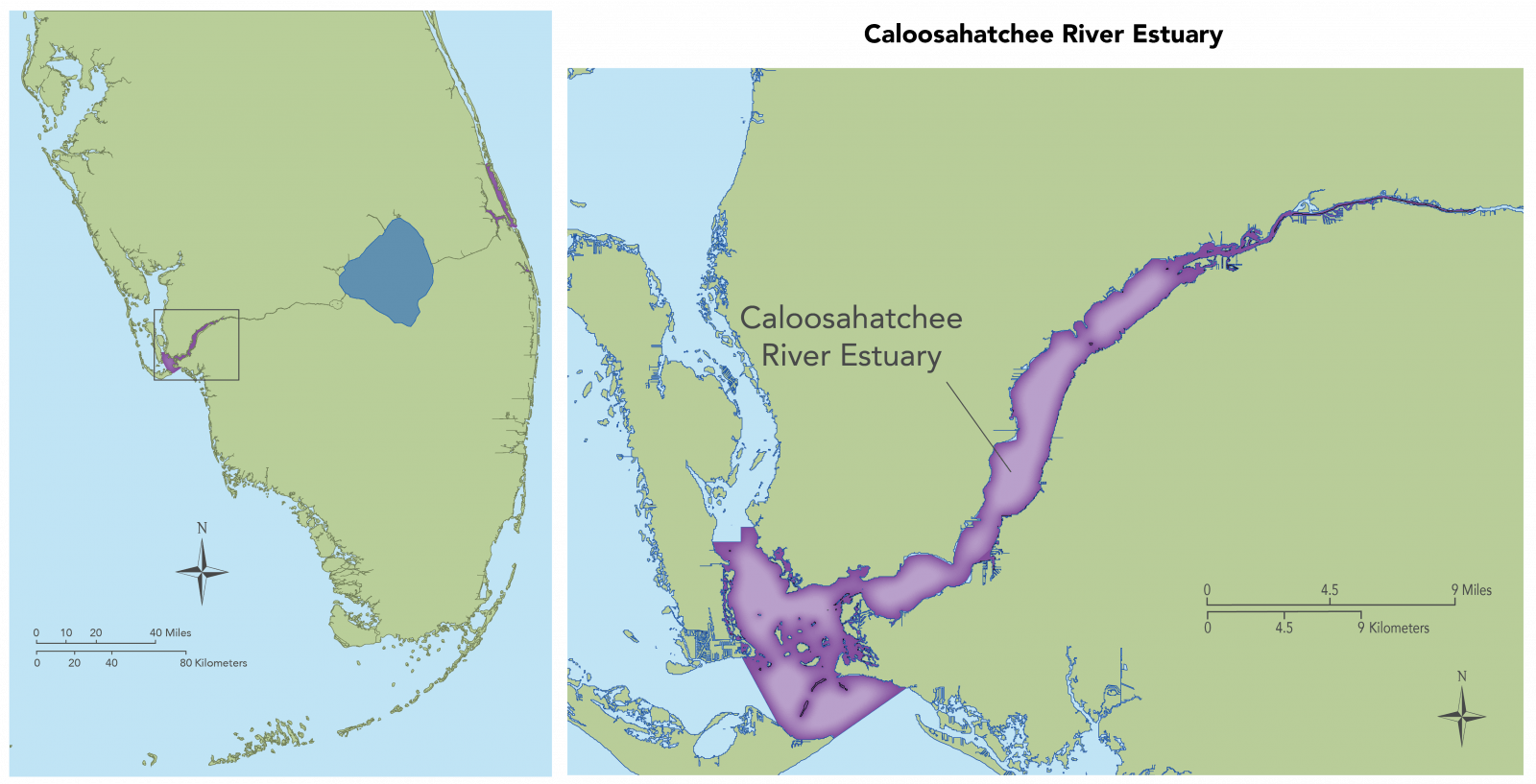
Caloosahatchee River Estuary
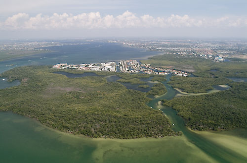
The Caloosahatchee River Estuary is located on Florida’s southwest coast and extends 105 km from Lake Okeechobee to San Carlos Bay, entering the Gulf of Mexico near Fort Myers, Florida. Before development, the river was sinuous and originated near Lake Flirt, about 2 miles east of La Belle, Florida. The estuary runs 42 km and has a long and narrow morphology. The prominent hydrologic issues in this region are extreme high flows in the wet season, and too low-flows in the dry season. High flows may impact oyster and marine SAV species in the lower estuary by affecting both salinity regime and light environment via colored dissolved organic matter or sediment resuspension and turbidity.